2007
TF1839 : Brown Fen Waterway Trail
taken 17 years ago, 4 km NNW of Northorpe, Lincolnshire, England
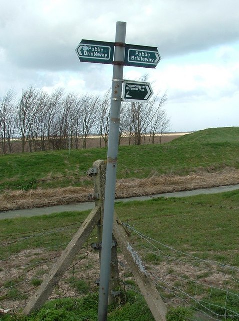
Brown Fen Waterway Trail
Waymarker for the Brown Fen Waterway Trail on the east bank of the South Fortyfoot Drain, close to Bicker Drove
 Map © Crown Copyright")
TIP: Click the map for more Large scale mapping
- Grid Square
- TF1839, 21 images (more nearby 🔍)
- Photographer
- Donnylad (more nearby)
- Date Taken
- Sunday, 18 March, 2007 (more nearby)
- Submitted
- Sunday, 18 March, 2007
- Subject Location
-
OSGB36:
 TF 187 397 [100m precision]
WGS84: 52:56.4994N 0:14.0777W - Camera Location
-
OSGB36: TF 187 396
- View Direction
- North-northwest (about 337 degrees)