2013
NN6239 : Rocky ascent of Beinn Ghlas
taken 11 years ago, 3 km from Kiltyrie, Perth And Kinross, Scotland
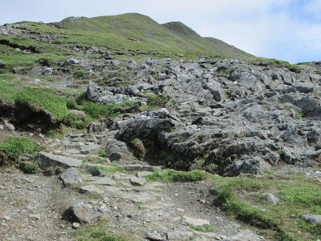
Rocky ascent of Beinn Ghlas
 Map © Crown Copyright")
TIP: Click the map for more Large scale mapping
- Grid Square
- NN6239, 26 images (more nearby 🔍)
- Photographer
- Peter S (more nearby)
- Date Taken
- Wednesday, 26 June, 2013 (more nearby)
- Submitted
- Friday, 11 October, 2013
- Subject Location
-
OSGB36:
 NN 621 398 [100m precision]
WGS84: 56:31.8229N 4:14.6085W - Camera Location
-
OSGB36: NN 620 397
- View Direction
- North-northeast (about 22 degrees)