2013
SP9483 : East Northants arable land
taken 11 years ago, near to Brigstock, North Northamptonshire, England
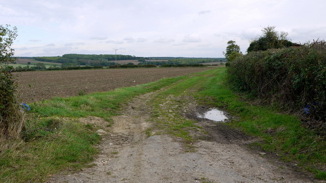
East Northants arable land
View east of the Grafton Road, south of Brigstock.
 Map © Crown Copyright")
TIP: Click the map for more Large scale mapping
- Grid Square
- SP9483, 7 images (more nearby 🔍)
- Photographer
- Jonathan Billinger (more nearby)
- Date Taken
- Wednesday, 9 October, 2013 (more nearby)
- Submitted
- Friday, 11 October, 2013
- Subject Location
-
OSGB36:
 SP 9413 8377 [10m precision]
WGS84: 52:26.6279N 0:36.9930W - Camera Location
-
OSGB36: SP 9410 8378
- View Direction
- East-southeast (about 112 degrees)