2013
SU5466 : Towpath footbridge, east of Colthrop lock
taken 11 years ago, near to Colthrop, West Berkshire, England
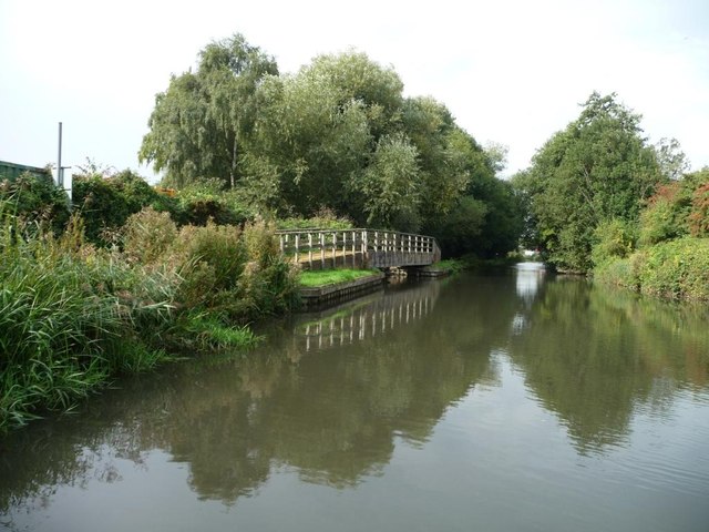
Towpath footbridge, east of Colthrop lock
Crossing the weir stream as it enters the canal.
 Map © Crown Copyright")
TIP: Click the map for more Large scale mapping
- Grid Square
- SU5466, 117 images (more nearby 🔍)
- Photographer
- Christine Johnstone (more nearby)
- Date Taken
- Saturday, 28 September, 2013 (more nearby)
- Submitted
- Saturday, 12 October, 2013
- Subject Location
-
OSGB36:
 SU 5420 6629 [10m precision]
WGS84: 51:23.5841N 1:13.3435W - Camera Location
-
OSGB36: SU 5424 6630
- View Direction
- WEST (about 270 degrees)