2005
SP7900 : Corn fields near Saunderton, and Lodge Hill
taken 19 years ago, near to Saunderton, Buckinghamshire, England
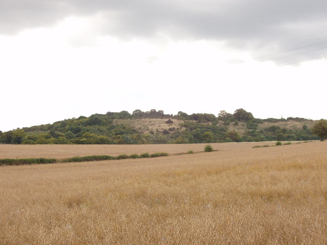
Corn fields near Saunderton, and Lodge Hill
Taken looking South-west from the road between Saunderton and Saunderton Lee
 Map © Crown Copyright")
TIP: Click the map for more Large scale mapping
- Grid Square
- SP7900, 22 images (more nearby 🔍)
- Photographer
- David Hawgood (more nearby)
- Date Taken
- Friday, 12 August, 2005 (more nearby)
- Submitted
- Friday, 12 August, 2005
- Subject Location
-
OSGB36:
 SP 796 006 [100m precision]
WGS84: 51:41.9207N 0:50.9001W - Camera Location
-
OSGB36: SP 797 007
- View Direction
- Southwest (about 225 degrees)