2013
NX3796 : Stinchar Falls (Upper Section)
taken 11 years ago, 4 km E of North Balloch, South Ayrshire, Scotland
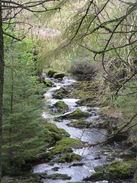
Stinchar Falls (Upper Section)
The River Stinchar flowing through the gradual start of the waterfall.
 Map © Crown Copyright")
TIP: Click the map for more Large scale mapping
- Grid Square
- NX3796, 18 images (more nearby 🔍)
- Photographer
- G Laird (more nearby)
- Date Taken
- Saturday, 12 October, 2013 (more nearby)
- Submitted
- Saturday, 12 October, 2013
- Subject Location
-
OSGB36:
 NX 3711 9635 [10m precision]
WGS84: 55:14.0635N 4:33.7876W - Camera Location
-
OSGB36: NX 3710 9633
- View Direction
- North-northeast (about 22 degrees)