2013
SD4354 : Foreshore at Crook Farm
taken 11 years ago, near to Glasson, Lancashire, England
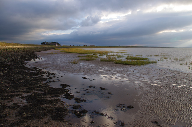
Foreshore at Crook Farm
Looking south
 Map © Crown Copyright")
TIP: Click the map for more Large scale mapping
- Grid Square
- SD4354, 36 images (more nearby 🔍)
- Photographer
- Ian Taylor (more nearby)
- Date Taken
- Saturday, 12 October, 2013 (more nearby)
- Submitted
- Sunday, 13 October, 2013
- Subject Location
-
OSGB36:
 SD 4308 5488 [10m precision]
WGS84: 53:59.2091N 2:52.1730W - Camera Location
-
OSGB36: SD 4308 5497
- View Direction
- SOUTH (about 180 degrees)