2013
NT8523 : The Pennine Way Below Black Hag
taken 11 years ago, 3 km from Sourhope, Scottish Borders, Scotland
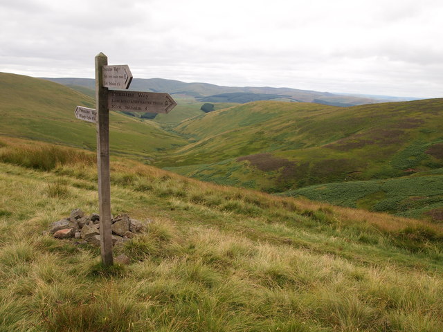
The Pennine Way Below Black Hag
Alternative routes are signposted for the last few miles.
 Map © Crown Copyright")
TIP: Click the map for more Large scale mapping
- Grid Square
- NT8523, 45 images (more nearby 🔍)
- Photographer
- Chris Andrews (more nearby)
- Date Taken
- Tuesday, 6 August, 2013 (more nearby)
- Submitted
- Sunday, 13 October, 2013
- Subject Location
-
OSGB36:
 NT 8582 2358 [10m precision]
WGS84: 55:30.3470N 2:13.5632W - Camera Location
-
OSGB36: NT 8583 2361
- View Direction
- South-southwest (about 202 degrees)