2013
TA1231 : The Crooked Billet on Holderness Road, Hull
taken 11 years ago, near to Sutton-on-Hull, Kingston Upon Hull, England
This is 1 of 3 images, with title The Crooked Billet on Holderness Road, Hull in this square
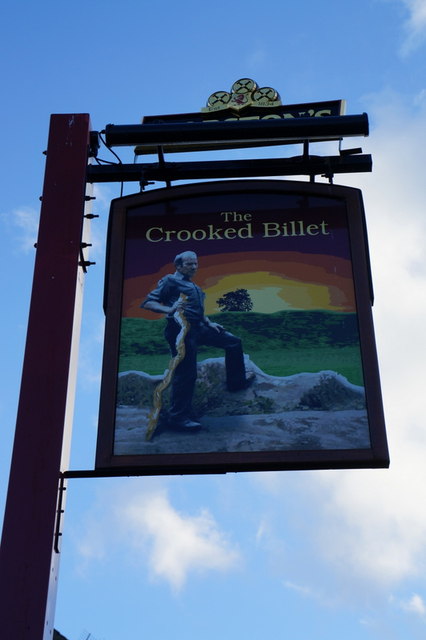
The Crooked Billet on Holderness Road, Hull
 Map © Crown Copyright")
TIP: Click the map for more Large scale mapping
- Grid Square
- TA1231, 817 images (more nearby 🔍)
- Photographer
- Ian S (more nearby)
- Date Taken
- Monday, 14 October, 2013 (more nearby)
- Submitted
- Monday, 14 October, 2013
- Subject Location
-
OSGB36:
 TA 1294 3139 [10m precision]
WGS84: 53:45.9973N 0:17.2831W - Camera Location
-
OSGB36: TA 1292 3138
- View Direction
- Northeast (about 45 degrees)