2013
SS8111 : Road to Washford Pyne
taken 11 years ago, near to Washford Pyne, Devon, England
This is 1 of 2 images, with title Road to Washford Pyne in this square
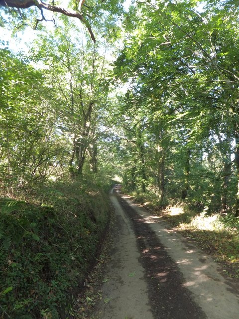
Road to Washford Pyne
The Henceford Brook runs just below the road in the woods on the right. On the left, a Devon hedgebank
 Map © Crown Copyright")
TIP: Click the map for more Large scale mapping
- Grid Square
- SS8111, 30 images (more nearby 🔍)
- Photographer
- David Smith (more nearby)
- Date Taken
- Thursday, 10 October, 2013 (more nearby)
- Submitted
- Monday, 14 October, 2013
- Subject Location
-
OSGB36:
 SS 8189 1160 [10m precision]
WGS84: 50:53.5062N 3:40.8404W - Camera Location
-
OSGB36: SS 8192 1159
- View Direction
- West-northwest (about 292 degrees)