2013
SJ9898 : Damp Path
taken 11 years ago, near to Millbrook, Tameside, England
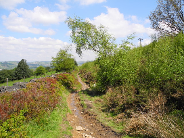
Damp Path
Path leading to Sidebottom Fold, Falxfield and Wild Bank from Cockers Farm and Ashtonhill Cross.
 Map © Crown Copyright")
TIP: Click the map for more Large scale mapping
- Grid Square
- SJ9898, 37 images (more nearby 🔍)
- Photographer
- John Topping (more nearby)
- Date Taken
- Sunday, 26 May, 2013 (more nearby)
- Submitted
- Monday, 14 October, 2013
- Subject Location
-
OSGB36:
 SJ 9829 9803 [10m precision]
WGS84: 53:28.7395N 2:1.6340W - Camera Location
-
OSGB36: SJ 9829 9803
- View Direction
- NORTH (about 0 degrees)