2013
SX3761 : Pasture near Wotton Cross
taken 11 years ago, near to Landrake, Cornwall, England
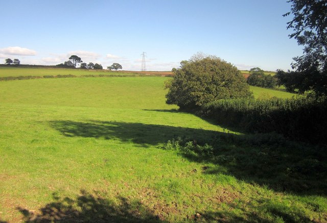
Pasture near Wotton Cross
Taken just the other side of the field boundary on the right from SX3761 : Farmland north of Landrake. Somewhere between the trees to the left of the pylon is Penlynher, on Frenchman's Lane
 Map © Crown Copyright")
TIP: Click the map for more Large scale mapping
- Grid Square
- SX3761, 8 images (more nearby 🔍)
- Photographer
- Derek Harper (more nearby)
- Date Taken
- Thursday, 10 October, 2013 (more nearby)
- Submitted
- Monday, 14 October, 2013
- Subject Location
-
OSGB36:
 SX 370 611 [100m precision]
WGS84: 50:25.6245N 4:17.7721W - Camera Location
-
OSGB36: SX 3700 6110
- View Direction
- Northeast (about 45 degrees)