2013
SN0603 : A477, eastwards
taken 11 years ago, near to Sageston, Pembrokeshire/Sir Benfro, Wales
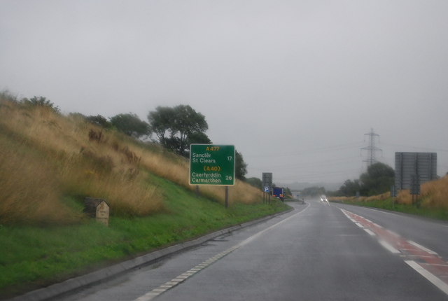
A477, eastwards
 Map © Crown Copyright")
TIP: Click the map for more Large scale mapping
- Grid Square
- SN0603, 10 images (more nearby 🔍)
- Photographer
- N Chadwick (more nearby)
- Date Taken
- Thursday, 29 August, 2013 (more nearby)
- Submitted
- Tuesday, 15 October, 2013
- Subject Location
-
OSGB36:
 SN 0635 0328 [10m precision]
WGS84: 51:41.6866N 4:48.2021W - Camera Location
-
OSGB36: SN 0632 0328
- View Direction
- EAST (about 90 degrees)