2013
NH9609 : Cycle Path
taken 11 years ago, 5 km ESE of Coylumbridge, Highland, Scotland
This is 1 of 2 images, with title Cycle Path in this square
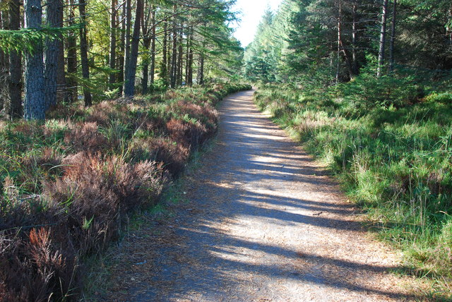
Cycle Path
This cycle path runs from close to Inverdriue to Glenmore.
 Map © Crown Copyright")
TIP: Click the map for more Large scale mapping
- Grid Square
- NH9609, 95 images (more nearby 🔍)
- Photographer
- jeff collins (more nearby)
- Date Taken
- Friday, 11 October, 2013 (more nearby)
- Submitted
- Saturday, 19 October, 2013
- Subject Location
-
OSGB36:
 NH 9618 0975 [10m precision]
WGS84: 57:10.0086N 3:43.1046W - Camera Location
-
OSGB36: NH 9625 0977
- View Direction
- West-southwest (about 247 degrees)