2012
SN5804 : Plas y Fforest Farm
taken 11 years ago, near to Fforest, Carmarthenshire/Sir Gaerfyrddin, Wales
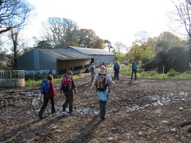
Plas y Fforest Farm
Cerddwyr yn mynd heibio i adeiladau amaethyddol Ffarm Plas y Fforest.
Walkers passing agricultural buildings at Plas y Fforest Farm.
Walkers passing agricultural buildings at Plas y Fforest Farm.
 Map © Crown Copyright")
TIP: Click the map for more Large scale mapping
- Grid Square
- SN5804, 24 images (more nearby 🔍)
- Photographer
- Alan Richards (more nearby)
- Date Taken
- Sunday, 21 October, 2012 (more nearby)
- Submitted
- Sunday, 20 October, 2013
- Subject Location
-
OSGB36:
 SN 5810 0495 [10m precision]
WGS84: 51:43.5157N 4:3.3528W - Camera Location
-
OSGB36: SN 5809 0497
- View Direction
- South-southeast (about 157 degrees)