2013
NT8102 : The valley of Bellshiel Burn east of Great Dour
taken 11 years ago, 5 km E of Byrness, Northumberland, England
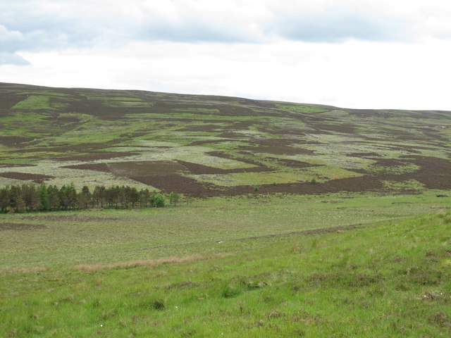
The valley of Bellshiel Burn east of Great Dour
 Map © Crown Copyright")
TIP: Click the map for more Large scale mapping
- Grid Square
- NT8102, 20 images (more nearby 🔍)
- Photographer
- Mike Quinn (more nearby)
- Date Taken
- Sunday, 16 June, 2013 (more nearby)
- Submitted
- Sunday, 20 October, 2013
- Subject Location
-
OSGB36:
 NT 8102 0250 [10m precision]
WGS84: 55:18.9724N 2:18.0362W - Camera Location
-
OSGB36: NT 81100 02471
- View Direction
- West-northwest (about 292 degrees)