2013
TA0727 : The path goes under the Clive Sullivan Way, Hull
taken 11 years ago, near to Kingston Upon Hull, England
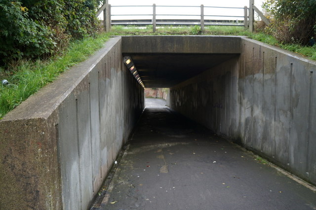
The path goes under the Clive Sullivan Way, Hull
 Map © Crown Copyright")
TIP: Click the map for more Large scale mapping
- Grid Square
- TA0727, 599 images (more nearby 🔍)
- Photographer
- Ian S (more nearby)
- Date Taken
- Saturday, 19 October, 2013 (more nearby)
- Submitted
- Sunday, 20 October, 2013
- Subject Location
-
OSGB36:
 TA 0788 2727 [10m precision]
WGS84: 53:43.8406N 0:21.9732W - Camera Location
-
OSGB36: TA 0787 2731
- View Direction
- South-southeast (about 157 degrees)