2013
SN2308 : Ploughed field above Pendine
taken 11 years ago, near to Pendine, Carmarthenshire/Sir Gaerfyrddin, Wales
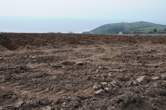
Ploughed field above Pendine
This ploughed field is likely to have been planted with potatoes which is a popular crop in this part of Wales.
 Map © Crown Copyright")
TIP: Click the map for more Large scale mapping
- Grid Square
- SN2308, 32 images (more nearby 🔍)
- Photographer
- Philip Halling (more nearby)
- Date Taken
- Sunday, 7 April, 2013 (more nearby)
- Submitted
- Sunday, 20 October, 2013
- Subject Location
-
OSGB36:
 SN 2342 0880 [10m precision]
WGS84: 51:44.9994N 4:33.5674W - Camera Location
-
OSGB36: SN 2342 0887
- View Direction
- SOUTH (about 180 degrees)