2007
SW7128 : Carwythenack Farm
taken 17 years ago, near to Constantine, Cornwall, England
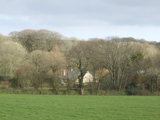
Carwythenack Farm
A view across the fields to the farm surrounded by mixed woodland.
 Map © Crown Copyright")
TIP: Click the map for more Large scale mapping
- Grid Square
- SW7128, 14 images (more nearby 🔍)
- Photographer
- Jonathan Billinger (more nearby)
- Date Taken
- Wednesday, 14 March, 2007 (more nearby)
- Submitted
- Monday, 19 March, 2007
- Subject Location
-
OSGB36:
 SW 718 284 [100m precision]
WGS84: 50:6.7044N 5:11.5701W - Camera Location
-
OSGB36: SW 717 285
- View Direction
- Southeast (about 135 degrees)