2013
SN5707 : A48 nearing the M4
taken 11 years ago, 3 km from Fforest, Carmarthenshire/Sir Gaerfyrddin, Wales
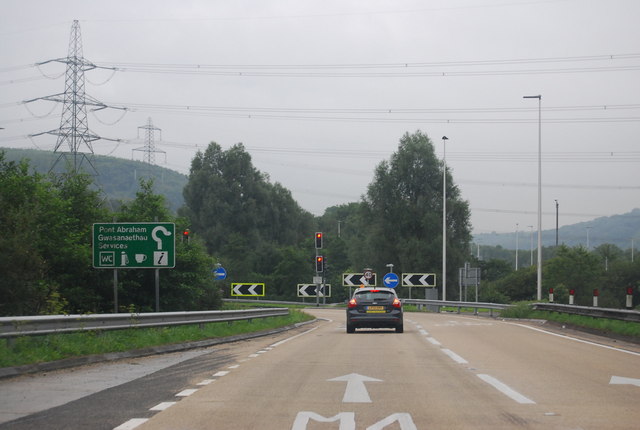
A48 nearing the M4
 Map © Crown Copyright")
TIP: Click the map for more Large scale mapping
- Grid Square
- SN5707, 60 images (more nearby 🔍)
- Photographer
- N Chadwick (more nearby)
- Date Taken
- Thursday, 29 August, 2013 (more nearby)
- Submitted
- Monday, 21 October, 2013
- Subject Location
-
OSGB36:
 SN 5765 0746 [10m precision]
WGS84: 51:44.8621N 4:3.8051W - Camera Location
-
OSGB36: SN 5767 0751
- View Direction
- South-southwest (about 202 degrees)