2013
SJ9970 : Path on Whetstone Ridge
taken 11 years ago, 3 km from Macclesfield Forest, Cheshire East, England
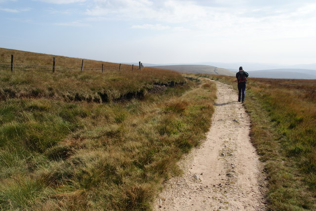
Path on Whetstone Ridge
The highest part of the ridge is up to the left.
 Map © Crown Copyright")
TIP: Click the map for more Large scale mapping
- Grid Square
- SJ9970, 16 images (more nearby 🔍)
- Photographer
- Bill Boaden (more nearby)
- Date Taken
- Saturday, 28 September, 2013 (more nearby)
- Submitted
- Monday, 21 October, 2013
- Subject Location
-
OSGB36:
 SJ 9996 7091 [10m precision]
WGS84: 53:14.1134N 2:0.1235W - Camera Location
-
OSGB36: SJ 9995 7092
- View Direction
- Southeast (about 135 degrees)