2013
SO5916 : Ruined Barn, Lydbrook
taken 11 years ago, near to Lower Lydbrook, Gloucestershire, England
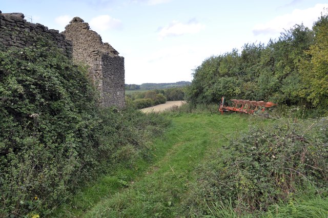
Ruined Barn, Lydbrook
This old barn is next to Probertsbarn Lane. Though whether it is THE Proberts Barn, I wouldn't like to say.
 Map © Crown Copyright")
TIP: Click the map for more Large scale mapping
- Grid Square
- SO5916, 140 images (more nearby 🔍)
- Photographer
- Stuart Wilding (more nearby)
- Date Taken
- Wednesday, 16 October, 2013 (more nearby)
- Submitted
- Tuesday, 22 October, 2013
- Subject Location
-
OSGB36:
 SO 5912 1659 [10m precision]
WGS84: 51:50.7841N 2:35.6904W - Camera Location
-
OSGB36: SO 5911 1656
- View Direction
- NORTH (about 0 degrees)