2013
NT3058 : End of the road
taken 11 years ago, near to Temple, Midlothian, Scotland
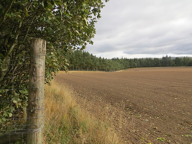
End of the road
A newly ploughed field at the end of the road past Redside. The mapped road stops here.
 Map © Crown Copyright")
TIP: Click the map for more Large scale mapping
- Grid Square
- NT3058, 26 images (more nearby 🔍)
- Photographer
- Richard Webb (more nearby)
- Date Taken
- Thursday, 10 October, 2013 (more nearby)
- Submitted
- Tuesday, 22 October, 2013
- Subject Location
-
OSGB36:
 NT 3018 5847 [10m precision]
WGS84: 55:48.8654N 3:6.9431W - Camera Location
-
OSGB36: NT 3015 5848
- View Direction
- East-southeast (about 112 degrees)