2013
NN0565 : Looking up forestry track towards bealach between Beinn na Gucaig & Beinn Bhàn
taken 10 years ago, 4 km NE of Inchree, Highland, Scotland
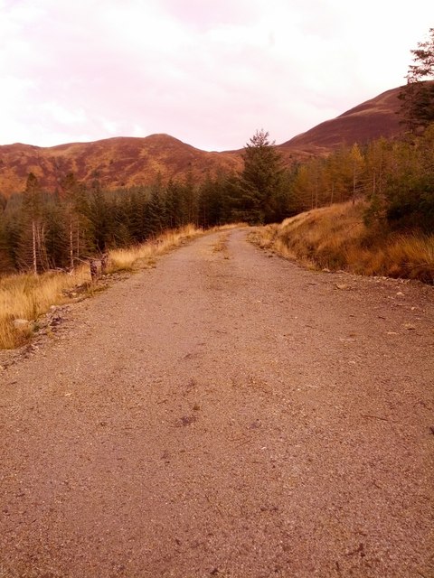
Looking up forestry track towards bealach between Beinn na Gucaig & Beinn Bhàn
Shortly before Allt Coire nan Gobhar. Some forestry harvesting has taken place.
 Map © Crown Copyright")
TIP: Click the map for more Large scale mapping
- Grid Square
- NN0565, 13 images (more nearby 🔍)
- Photographer
- Phillip Williams (more nearby)
- Date Taken
- Wednesday, 23 October, 2013 (more nearby)
- Submitted
- Thursday, 24 October, 2013
- Subject Location
-
OSGB36:
 NN 0523 6565 [10m precision]
WGS84: 56:44.5013N 5:11.1809W - Camera Location
-
OSGB36: NN 0507 6559
- View Direction
- East-northeast (about 67 degrees)