2006
TQ3614 : Upper Mill Plumpton
taken 18 years ago, near to East Chiltington, East Sussex, England
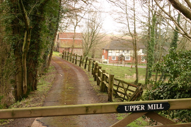
Upper Mill Plumpton
 Map © Crown Copyright")
TIP: Click the map for more Large scale mapping
- Grid Square
- TQ3614, 62 images (more nearby 🔍)
- Photographer
- Peter Jeffery (more nearby)
- Date Taken
- Wednesday, 1 March, 2006 (more nearby)
- Submitted
- Thursday, 31 October, 2013
- Subject Location
-
OSGB36:
 TQ 3630 1474 [10m precision]
WGS84: 50:54.9622N 0:3.7448W - Camera Location
-
OSGB36: TQ 3638 1474
- View Direction
- WEST (about 270 degrees)