2013
SO6770 : A456 near Broombank
taken 10 years ago, near to Lindridge, Worcestershire, England
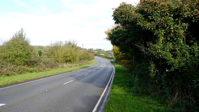
A456 near Broombank
Looking north-east in the direction of Kidderminster.
 Map © Crown Copyright")
TIP: Click the map for more Large scale mapping
- Grid Square
- SO6770, 12 images (more nearby 🔍)
- Photographer
- Jonathan Billinger (more nearby)
- Date Taken
- Thursday, 31 October, 2013 (more nearby)
- Submitted
- Friday, 1 November, 2013
- Subject Location
-
OSGB36:
 SO 6705 7009 [10m precision]
WGS84: 52:19.6744N 2:29.0951W - Camera Location
-
OSGB36: SO 6701 7005
- View Direction
- Northeast (about 45 degrees)