2006
SU4653 : Litchfield
taken 17 years ago, near to Litchfield, Hampshire, England
This is 1 of 3 images, with title Litchfield in this square
Litchfield
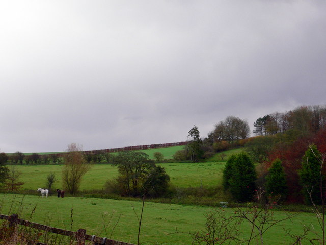
Litchfield looking from the road entering the village towards Angle Down
 Map © Crown Copyright")
TIP: Click the map for more Large scale mapping
- Grid Square
- SU4653, 47 images (more nearby 🔍)
- Photographer
- Herry Lawford (more nearby)
- Date Taken
- Sunday, 26 November, 2006 (more nearby)
- Submitted
- Thursday, 22 March, 2007
- Subject Location
-
OSGB36:
 SU 463 535 [100m precision]
WGS84: 51:16.7639N 1:20.2459W - Camera Location
-
OSGB36: SU 460 534
- View Direction
- East-northeast (about 67 degrees)