2013
SD6116 : High Bullough dam
taken 11 years ago, near to Limbrick, Lancashire, England
This is 1 of 2 images, with title starting with High Bullough in this square
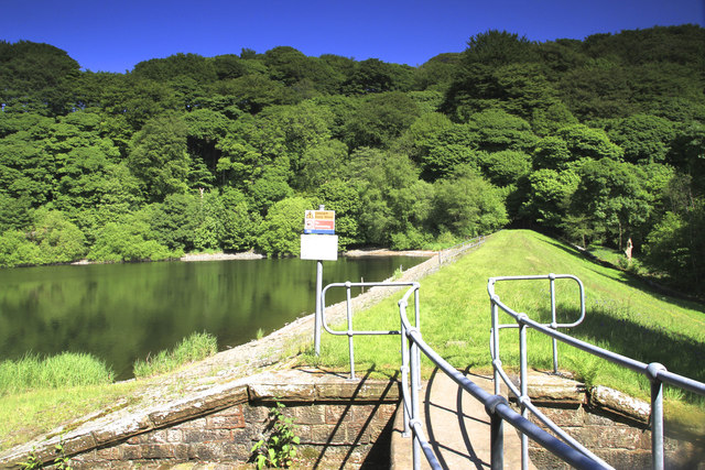
High Bullough dam
The top of the south dam on High Bullough reservoir, the smallest and oldest lake in the Rivington complex. It is no longer used for drinking water but as a nature reserve.
 Map © Crown Copyright")
TIP: Click the map for more Large scale mapping
- Grid Square
- SD6116, 36 images (more nearby 🔍)
- Photographer
- Chris Denny (more nearby)
- Date Taken
- Thursday, 6 June, 2013 (more nearby)
- Submitted
- Tuesday, 19 November, 2013
- Subject Location
-
OSGB36:
 SD 6197 1673 [10m precision]
WGS84: 53:38.7411N 2:34.6055W - Camera Location
-
OSGB36: SD 6191 1675
- View Direction
- East-southeast (about 112 degrees)