2002
SS6998 : Gwernllwynchwyth Road, Llansamlet. c2002
taken 22 years ago, near to Llansamlet, Swansea/Abertawe, Wales
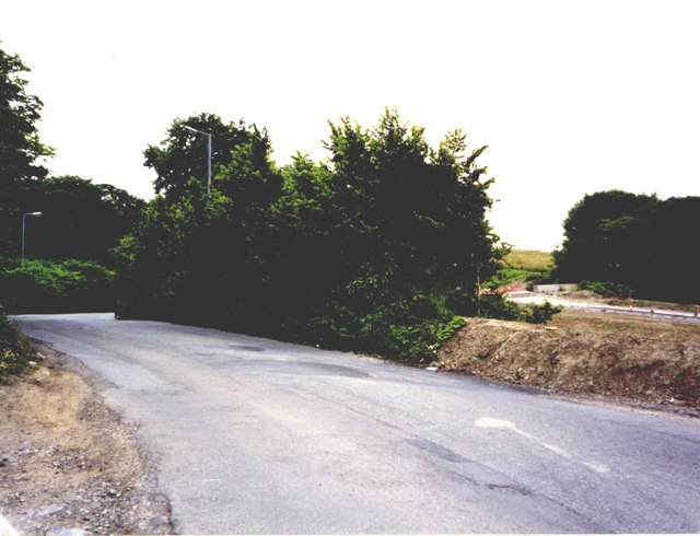
Gwernllwynchwyth Road, Llansamlet. c2002
Local through-route closed to traffic and blocked-off by a new link road. See Link
 Map © Crown Copyright")
TIP: Click the map for more Large scale mapping
- Grid Square
- SS6998, 45 images (more nearby 🔍)
- Photographer
- David Lewis (more nearby)
- Date Taken
- 2002 (more nearby)
- Submitted
- Monday, 25 November, 2013
- Subject Location
-
OSGB36:
 SS 6968 9801 [10m precision]
WGS84: 51:39.9426N 3:53.1437W - Camera Location
-
OSGB36: SS 6965 9809
- View Direction
- South-southeast (about 157 degrees)