Geograph - photograph every grid square
2007
NR9374
: Loch Melldalloch
taken
17 years ago
,
near
to
Melldalloch
, Argyll And Bute, Scotland
This is 1 of
4 images, with title Loch Melldalloch
in this square
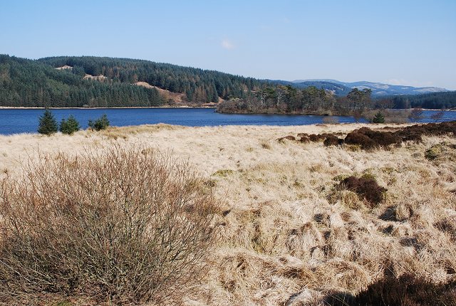
Loch Melldalloch
A small loch close to the B8000.
© Copyright
Patrick Mackie
and licensed for
reuse
under this
Creative Commons Licence
.
Licensing
Download
Share...
Share this photo via Twitter
Share this photo via Facebook
Share this photo via Pinterest
Share this photo via Flipboard
Share this photo via email/e-card
Grab a Stamped/Watermarked Image
Mark
👍🏻
Like Image
👍🏻
Like Description
Update Information
Contact Contributor
Category:
Loch
This photo is linked from:
Automatic Clusters
: ·
Loch Melldalloch [9]
·
B8000 [8]
Title Clusters
: ·
Loch Melldalloch [4]
·
TIP: Click the map for more Large scale mapping
Grid Square
NR9374
, 14 images (
more nearby
🔍
)
Photographer
Patrick Mackie
(
more nearby
)
Date Taken
Sunday, 25 March, 2007 (
more nearby
)
Submitted
Sunday, 25 March, 2007
Subject Location
OSGB36:
NR 937 745
[100m precision]
WGS84:
55:55.1528N
5:18.1842W
Camera Location
OSGB36:
NR 935 744
View Direction
East-northeast (about 67 degrees)
NW
N
NE
W
Go
E
SW
S
SE
View Discussion for NR9374
View this location on ...
Geograph Coverage Map (includes OSM etc)
Geograph Links Page
Open in Google Maps
Navigate to location with Google Maps
Open in Google Earth Pro
Open in Google Earth for Web
Open in Bing Maps
Navigate with Google Maps
Lookup nearest Postcode
Image classification
(about)
: Geograph (First for NR9374) · First in 5 Years (TPoint)
(about)
This page has been
viewed
about
103
times
☰
Home
View
Search
Marked Images
Maps
Browser
Explore
Showcase
New Images
Collections
Interact
Games
Discussions
Blog
Contributors
Submit
Statistics
Leaderboards
General
FAQ
Help Pages
Sitemap
Contact Us
Support Us
sponsored by
Discussion on NR9374
NR9374 : Loch Melldalloch
NR9374 : Loch Melldaloch
NR9374 : Western end of Loch Melldalloch
NR9374 : Loch Melldalloch
Melldalloch Island in Loch Melldalloch was exacavated in the 1990's, and the historic findings summarised in
http://canmore.org.uk/site/139150.
🔍
What to search:
Photos
Enter keywords or a location/postcode to search nearby images
Photos near NR9374
Enter a Grid Reference
Placenames
Collections
Website Pages
Everything
Others:
Advanced Search
|
Image Browser
Or:
Coverage Map
|
Searchable Map
You are not logged in
login
|
register