2013
SP1911 : Farm track and bridleway
taken 10 years ago, near to Windrush, Gloucestershire, England
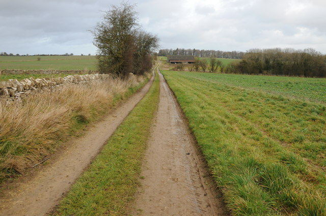
Farm track and bridleway
Farm track and bridleway passing Rangehill Copse on the eastern boundary of the former WWII RAF Windrush airfield.
 Map © Crown Copyright")
TIP: Click the map for more Large scale mapping
- Grid Square
- SP1911, 3 images (more nearby 🔍)
- Photographer
- Philip Halling (more nearby)
- Date Taken
- Saturday, 14 December, 2013 (more nearby)
- Submitted
- Monday, 16 December, 2013
- Subject Location
-
OSGB36:
 SP 1916 1181 [10m precision]
WGS84: 51:48.2764N 1:43.4115W - Camera Location
-
OSGB36: SP 1910 1168
- View Direction
- North-northeast (about 22 degrees)