2013
NY9075 : Gunnerton Burn lime kiln
taken 10 years ago, near to Gunnerton, Northumberland, England
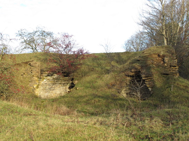
Gunnerton Burn lime kiln
The location of this lime kiln is shown in NY9075 : Farmland west of Coal Burn near The Nursery.
 Map © Crown Copyright")
TIP: Click the map for more Large scale mapping
- Grid Square
- NY9075, 25 images (more nearby 🔍)
- Photographer
- Mike Quinn (more nearby)
- Date Taken
- Tuesday, 17 December, 2013 (more nearby)
- Submitted
- Sunday, 22 December, 2013
- Subject Location
-
OSGB36:
 NY 90565 75410 [1m precision]
WGS84: 55:4.3835N 2:8.9577W - Camera Location
-
OSGB36: NY 90560 75400
- View Direction
- North-northeast (about 22 degrees)