2013
TL5229 : Grass covered road junction near Ugley
taken 10 years ago, near to Ugley, Essex, England
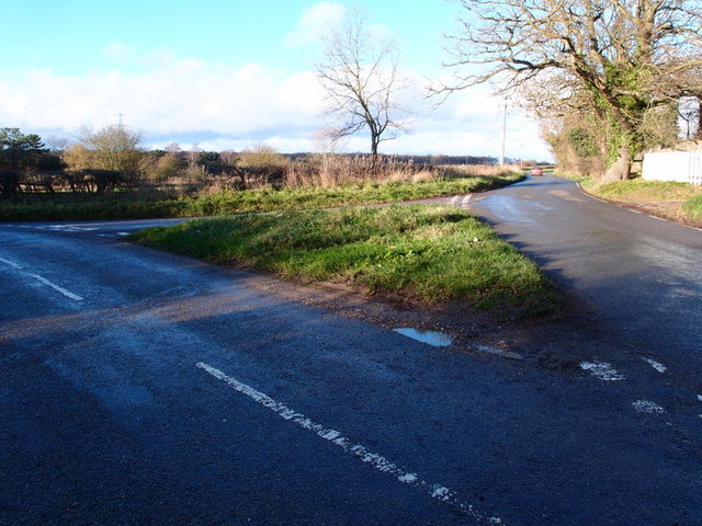
Grass covered road junction near Ugley
A road junction between the M11 and the Railway Line on North Hall Road. To the right of the photograph are several prefabs that belong to London Cycling Clubs
 Map © Crown Copyright")
TIP: Click the map for more Large scale mapping
- Grid Square
- TL5229, 25 images (more nearby 🔍)
- Photographer
- Michael Trolove (more nearby)
- Date Taken
- Sunday, 22 December, 2013 (more nearby)
- Submitted
- Wednesday, 25 December, 2013
- Subject Location
-
OSGB36:
 TL 5268 2935 [10m precision]
WGS84: 51:56.5024N 0:13.1876E - Camera Location
-
OSGB36: TL 5271 2934
- View Direction
- West-northwest (about 292 degrees)