2013
SD7716 : Quarry and clough
taken 10 years ago, near to Ramsbottom, Bury, England
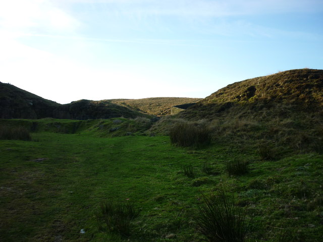
Quarry and clough
The clough dividing the hills of Holcombe and Harcles being too boggy for this particular walker, I was directed by a kind local to an alternative route to the base of Harcles via this long-disused quarry, located where the path from the Peel Monument turns into Moor Road on its way down into the village. The stream still requires a little negotiation but I found it to be much less worrisome than the stretch further up and there is at least that wall to cling to!
 Map © Crown Copyright")
TIP: Click the map for more Large scale mapping
- Grid Square
- SD7716, 154 images (more nearby 🔍)
- Photographer
- Carroll Pierce (more nearby)
- Date Taken
- Monday, 25 November, 2013 (more nearby)
- Submitted
- Monday, 30 December, 2013
- Subject Location
-
OSGB36:
 SD 7783 1699 [10m precision]
WGS84: 53:38.9363N 2:20.2121W - Camera Location
-
OSGB36: SD 7790 1697
- View Direction
- West-northwest (about 292 degrees)