2013
SU3839 : River Test: Between Chilbolton and Wherwell
taken 11 years ago, near to Fullerton, Hampshire, England
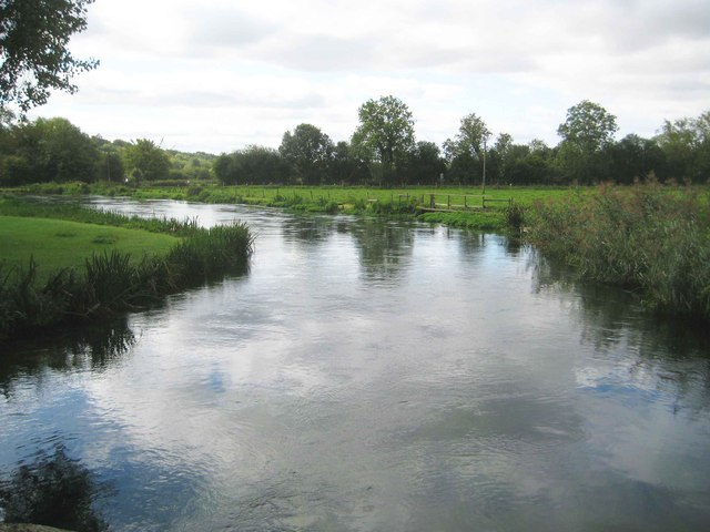
River Test: Between Chilbolton and Wherwell
This is the view looking downstream along the river from the bridge carrying the former Sprat and Winkle railway over it. The boundary between the Civil Parishes of Chilbolton and Wherwell runs down the centre of the river here.
 Map © Crown Copyright")
TIP: Click the map for more Large scale mapping
- Grid Square
- SU3839, 73 images (more nearby 🔍)
- Photographer
- Nigel Cox (more nearby)
- Date Taken
- Friday, 20 September, 2013 (more nearby)
- Submitted
- Monday, 30 December, 2013
- Subject Location
-
OSGB36:
 SU 3816 3913 [10m precision]
WGS84: 51:9.0098N 1:27.3483W - Camera Location
-
OSGB36: SU 3818 3921
- View Direction
- South-southwest (about 202 degrees)