2014
SE7923 : Farm buildings and a silo in Reedness
taken 10 years ago, near to Reedness, East Riding of Yorkshire, England
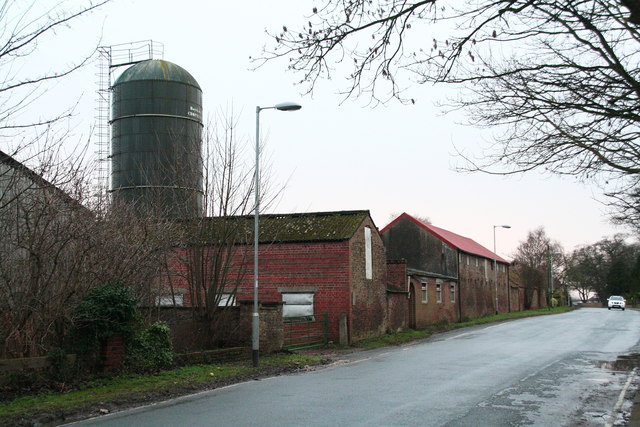
Farm buildings and a silo in Reedness
The farm is not named on the map but the area behind it, between the village and the River Ouse is called "North Garths". Opposite, to the right of the road is "South Garths". "Garth" (meaning encircled by or contained in) is a word meaning paddock or field. Sometimes the name incorporates the name of the trees by which the field is (or was) surrounded, as in "Elm Garth" (in Yarburgh, near Louth, Lincs).
 Map © Crown Copyright")
TIP: Click the map for more Large scale mapping
- Grid Square
- SE7923, 52 images (more nearby 🔍)
- Photographer
- Chris (more nearby)
- Date Taken
- Sunday, 5 January, 2014 (more nearby)
- Submitted
- Monday, 6 January, 2014
- Subject Location
-
OSGB36:
 SE 7939 2321 [10m precision]
WGS84: 53:41.9581N 0:47.9395W - Camera Location
-
OSGB36: SE 7943 2321
- View Direction
- WEST (about 270 degrees)