2013
HU5993 : Ruin, Urie
taken 11 years ago, 4 km NNW of Tresta, Fetlar, Shetland Islands, Scotland
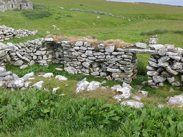
Ruin, Urie
A ruined house, one of several at Urie.
 Map © Crown Copyright")
TIP: Click the map for more Large scale mapping
- Grid Square
- HU5993, 8 images (more nearby 🔍)
- Photographer
- Richard Webb (more nearby)
- Date Taken
- Wednesday, 10 July, 2013 (more nearby)
- Submitted
- Tuesday, 21 January, 2014
- Subject Location
-
OSGB36:
 HU 5929 9382 [10m precision]
WGS84: 60:37.4016N 0:55.1051W - Camera Location
-
OSGB36: HU 5929 9381
- View Direction
- North-northwest (about 337 degrees)