2013
SE0162 : Dales Way by Lythe Plantation
taken 10 years ago, near to Thorpe, North Yorkshire, England
This is 1 of 2 images, with title Dales Way by Lythe Plantation in this square
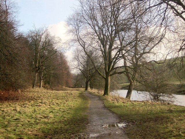
Dales Way by Lythe Plantation
Following the left bank of the river all the way to Hebden Suspension Bridge.
 Map © Crown Copyright")
TIP: Click the map for more Large scale mapping
- Grid Square
- SE0162, 93 images (more nearby 🔍)
- Photographer
- Derek Harper (more nearby)
- Date Taken
- Sunday, 29 December, 2013 (more nearby)
- Submitted
- Wednesday, 22 January, 2014
- Subject Location
-
OSGB36:
 SE 0126 6277 [10m precision]
WGS84: 54:3.6526N 1:58.9346W - Camera Location
-
OSGB36: SE 0120 6280
- View Direction
- East-southeast (about 112 degrees)