2013
TL1302 : Park Street Lane Bridge, M25
taken 10 years ago, near to Bricket Wood, Hertfordshire, England
This is 1 of 2 images, with title Park Street Lane Bridge, M25 in this square
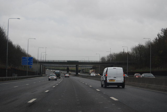
Park Street Lane Bridge, M25
The M25 is a 117 mile orbital motorway that encircles London. It was constructed between 1975 and 1986.
The motorway is not a continuous loop as a section to the East of London at The Dartford Crossing is an A-Road.
Wikipedia; Link
See other images of M25 Motorway
The motorway is not a continuous loop as a section to the East of London at The Dartford Crossing is an A-Road.
Wikipedia; Link
See other images of M25 Motorway
 Map © Crown Copyright")
TIP: Click the map for more Large scale mapping
- Grid Square
- TL1302, 47 images (more nearby 🔍)
- Photographer
- N Chadwick (more nearby)
- Date Taken
- Saturday, 14 December, 2013 (more nearby)
- Submitted
- Thursday, 23 January, 2014
- Subject Location
-
OSGB36:
 TL 1377 0257 [10m precision]
WGS84: 51:42.6203N 0:21.2861W - Camera Location
-
OSGB36: TL 1366 0260
- View Direction
- East-southeast (about 112 degrees)