2007
TF0251 : Footpath to the A15
taken 17 years ago, near to Cranwell, Lincolnshire, England
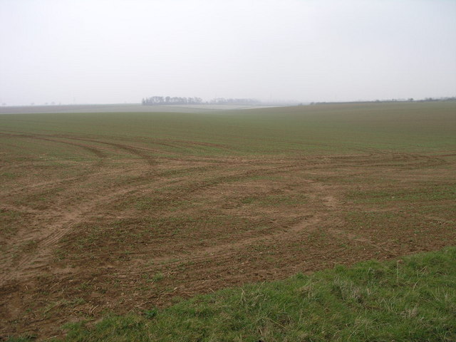
Footpath to the A15
A footpath leads across this field to the east of Brauncewell and merges with two others which them lead to the A15.
 Map © Crown Copyright")
TIP: Click the map for more Large scale mapping
- Grid Square
- TF0251, 17 images (more nearby 🔍)
- Photographer
- Michael Patterson (more nearby)
- Date Taken
- Friday, 30 March, 2007 (more nearby)
- Submitted
- Saturday, 31 March, 2007
- Subject Location
-
OSGB36:
 TF 023 518 [100m precision]
WGS84: 53:3.2363N 0:28.4755W - Camera Location
-
OSGB36: TF 022 517
- View Direction
- Northeast (about 45 degrees)