2014
SD9839 : Keighley Moor Reservoir
taken 10 years ago, 3 km from Oldfield, Bradford, England
This is 1 of 5 images, with title Keighley Moor Reservoir in this square
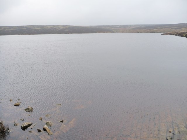
Keighley Moor Reservoir
Looking from the top of the spillway towards the valley of Crumber Hill Dike.
 Map © Crown Copyright")
TIP: Click the map for more Large scale mapping
- Grid Square
- SD9839, 25 images (more nearby 🔍)
- Photographer
- Christine Johnstone (more nearby)
- Date Taken
- Thursday, 30 January, 2014 (more nearby)
- Submitted
- Friday, 31 January, 2014
- Subject Location
-
OSGB36:
 SD 9876 3950 [10m precision]
WGS84: 53:51.1039N 2:1.2200W - Camera Location
-
OSGB36: SD 9884 3956
- View Direction
- Southwest (about 225 degrees)