2014
ST2121 : Trull waterfall in flood
taken 10 years ago, near to Staplehay, Somerset, England
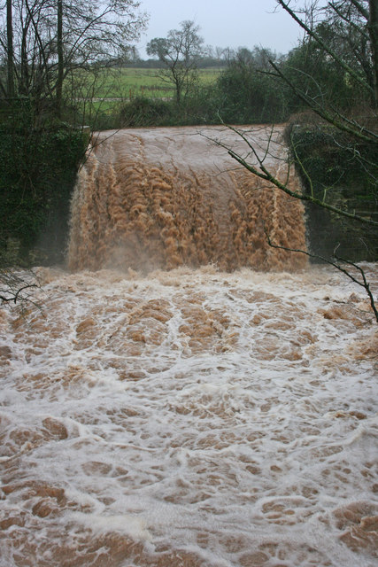
Trull waterfall in flood
 Map © Crown Copyright")
TIP: Click the map for more Large scale mapping
- Grid Square
- ST2121, 58 images (more nearby 🔍)
- Photographer
- Nick Chipchase (more nearby)
- Date Taken
- Wednesday, 5 February, 2014 (more nearby)
- Submitted
- Thursday, 6 February, 2014
- Subject Location
-
OSGB36:
 ST 2171 2182 [10m precision]
WGS84: 50:59.4260N 3:7.0111W - Camera Location
-
OSGB36: ST 2167 2181
- View Direction
- East-northeast (about 67 degrees)