2014
NT9831 : Approaching The River Till
taken 10 years ago, near to Doddington, Northumberland, England
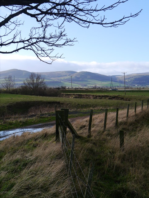
Approaching The River Till
Via a public right of way from Doddington.
 Map © Crown Copyright")
TIP: Click the map for more Large scale mapping
- Grid Square
- NT9831, 70 images (more nearby 🔍)
- Photographer
- James T M Towill (more nearby)
- Date Taken
- Saturday, 1 February, 2014 (more nearby)
- Submitted
- Thursday, 6 February, 2014
- Subject Location
-
OSGB36:
 NT 9895 3163 [10m precision]
WGS84: 55:34.6994N 2:1.0928W - Camera Location
-
OSGB36: NT 9895 3163
- View Direction
- West-southwest (about 247 degrees)