2004
SC3475 : Dairy farm
taken 19 years ago, near to Quine's Hill, Isle of Man
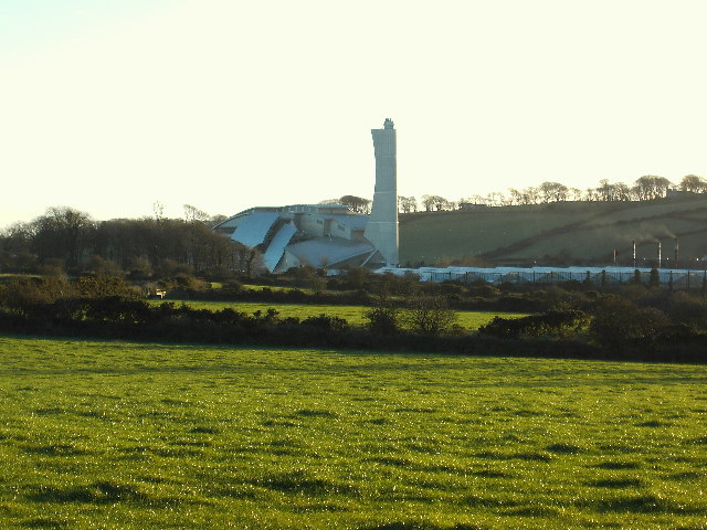
Dairy farm
This square is predominantly agricultural, with a rose nursery in the distance and the energy from waste plant further behind
 Map © Crown Copyright")
TIP: Click the map for more Large scale mapping
- Grid Square
- SC3475, 4 images (more nearby 🔍)
- Photographer
- Richard Rimmer (more nearby)
- Date Taken
- Monday, 20 December, 2004 (more nearby)
- Submitted
- Tuesday, 16 August, 2005
- Subject Location
-
OSGB36:
 SC 34 75 [1000m precision]
WGS84: 54:8.9150N 4:32.1312W