2014
TL3224 : Fields near Wood End from the air
taken 10 years ago, near to Wood End, Hertfordshire, England
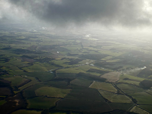
Fields near Wood End from the air
The horizontal line between the fields at the bottom of the photo is the Hertfordshire Chain Walk long distance footpath TL3224 : Long distance trail bridleway, Hertfordshire Chain Walk.
 Map © Crown Copyright")
TIP: Click the map for more Large scale mapping
- Grid Square
- TL3224, 9 images (more nearby 🔍)
- Photographer
- Thomas Nugent (more nearby)
- Date Taken
- Friday, 7 February, 2014 (more nearby)
- Submitted
- Monday, 10 February, 2014
- Subject Location
-
OSGB36:
 TL 32 24 [1000m precision]
WGS84: 51:54.1976N 0:4.5276W - View Direction
- South-southeast (about 157 degrees)