2014
SP9441 : Cranfield Airport with windsock and newly cut hedge
taken 10 years ago, near to Cranfield, Central Bedfordshire, England
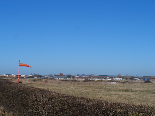
Cranfield Airport with windsock and newly cut hedge
Cranfield Airport and RAF Cranfield are inextricably linked with Cranfield University. Cranfield University is a postgraduate-only institution with very strong links to the military establishment. See Link for a detailed description.
 Map © Crown Copyright")
TIP: Click the map for more Large scale mapping
- Grid Square
- SP9441, 13 images (more nearby 🔍)
- Photographer
- Bikeboy (more nearby)
- Date Taken
- Sunday, 16 February, 2014 (more nearby)
- Submitted
- Monday, 17 February, 2014
- Subject Location
-
OSGB36:
 SP 945 415 [100m precision]
WGS84: 52:3.8717N 0:37.2953W - Camera Location
-
OSGB36: SP 946 415
- View Direction
- Northwest (about 315 degrees)