2014
TF4179 : Road through Claythorpe
taken 10 years ago, near to Aby, Lincolnshire, England
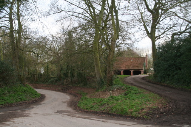
Road through Claythorpe
Lane to Tothill on the left.
 Map © Crown Copyright")
TIP: Click the map for more Large scale mapping
- Grid Square
- TF4179, 39 images (more nearby 🔍)
- Photographer
- Chris (more nearby)
- Date Taken
- Wednesday, 19 February, 2014 (more nearby)
- Submitted
- Thursday, 20 February, 2014
- Subject Location
-
OSGB36:
 TF 4135 7909 [10m precision]
WGS84: 53:17.3958N 0:7.1447E - Camera Location
-
OSGB36: TF 4133 7911
- View Direction
- South-southeast (about 157 degrees)