2014
TF0919 : Bourne Eau
taken 10 years ago, near to Bourne, Lincolnshire, England
This is 1 of 3 images, with title Bourne Eau in this square
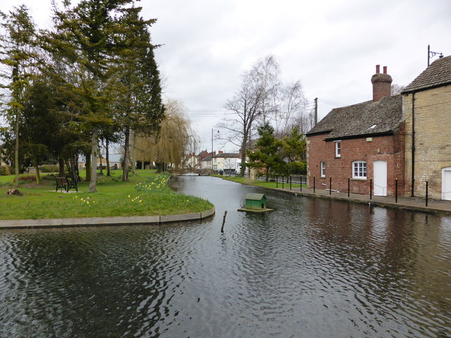
Bourne Eau
The Bourne Eau runs along South Street and hence under Baldock's Mill.
 Map © Crown Copyright")
TIP: Click the map for more Large scale mapping
- Grid Square
- TF0919, 599 images (more nearby 🔍)
- Photographer
- Bob Harvey (more nearby)
- Date Taken
- Sunday, 23 February, 2014 (more nearby)
- Submitted
- Sunday, 23 February, 2014
- Subject Location
-
OSGB36:
 TF 096 199 [100m precision]
WGS84: 52:45.9514N 0:22.6155W - Camera Location
-
OSGB36: TF 096 199
- View Direction
- NORTH (about 0 degrees)