2014
J0423 : Tamnaghbane Road, Killeavy
taken 10 years ago, 3 km from Camlough, Co Armagh, Northern Ireland
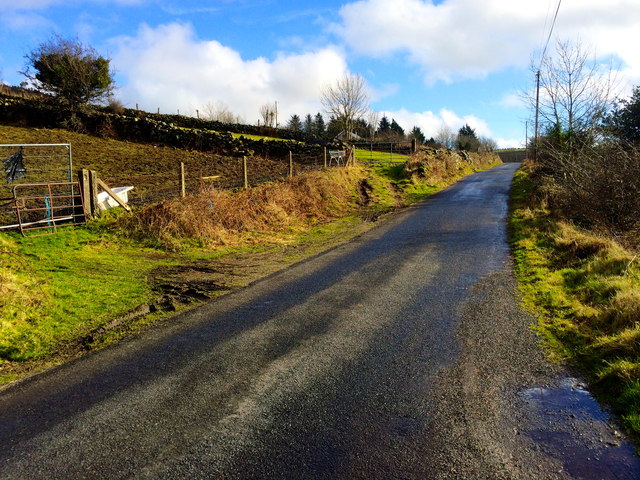
Tamnaghbane Road, Killeavy
The Tamnaghbane Road runs around the south of Camlough mountain towards the summit of the adjacent Ballymacdermot mountain. The townland is Tamnaghbane.
Loading map... (JavaScript required)
- Grid Square
- J0423, 16 images (more nearby 🔍)
- Photographer
- Dean Molyneaux (more nearby)
- Date Taken
- Monday, 24 February, 2014 (more nearby)
- Submitted
- Monday, 24 February, 2014
- Subject Location
-
Irish:
 J 042 236 [100m precision]
WGS84: 54:9.1019N 6:24.3283W - Camera Location
-
Irish: J 041 236
- View Direction
- EAST (about 90 degrees)