2014
TQ8109 : Queen's Street, Hastings
taken 10 years ago, near to Hastings, East Sussex, England
This is 1 of 13 images, with title starting with Queen's in this square
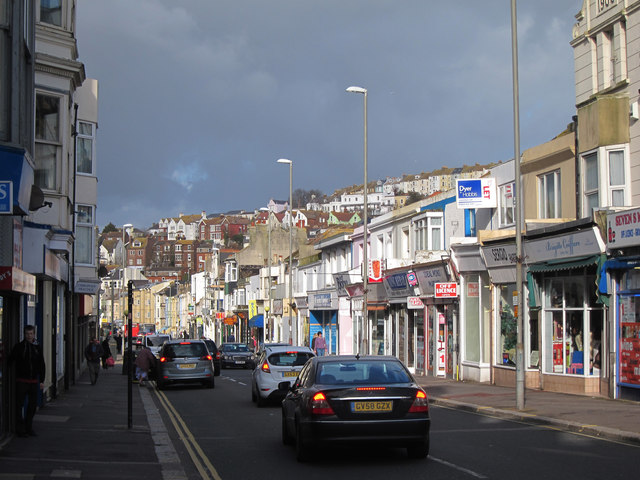
Queen's Street, Hastings
Leading off the roundabout and under an imposed railway bridge at the North end, Queen's road is a long road of shops and houses in Hastings CBD.
At the Northern end are mixture of two and three storey Victorian terraces, some houses (mostly converted to flats) and some shops with flats above. Entrances to Morrisons supermarket and fuel station to the West.
To the West side South of the junction of South Terrace, the 1990's Priory Meadow Shopping Centre lines a large section of the West side of the road. The final section is a pedestrianised area.
See other images of Queen's Road
 Map © Crown Copyright")
TIP: Click the map for more Large scale mapping
- Grid Square
- TQ8109, 2134 images (more nearby 🔍)
- Photographer
- Oast House Archive (more nearby)
- Date Taken
- Thursday, 27 February, 2014 (more nearby)
- Submitted
- Sunday, 2 March, 2014
- Subject Location
-
OSGB36:
 TQ 818 097 [100m precision]
WGS84: 50:51.5139N 0:34.9819E - Camera Location
-
OSGB36: TQ 818 096
- View Direction
- North-northeast (about 22 degrees)